
Converse Previous Residents by Era
An address history starts with the source that fits the period in question. Newer appraisal and recorded-instrument records can anchor a legal description. Earlier Bexar records move to county microfilm, indexes, and archival collections. Regional directories and maps can add a dated household or street context, but their scope must be checked volume by volume. No dedicated Converse city-directory run was located in the official TSLAC list, so a San Antonio volume is a research lead, not automatic coverage of a Converse street.
| Historical source | Years it covers | Where held | What it can show |
|---|---|---|---|
| BCAD appraisal record | Current year plus five prior years online | BCAD map and older-record request route | Appraisal owner label, situs and mailing fields, parcel, legal description, and year built |
| Bexar Official Records | First online year not published | County Clerk online index | Recorded grantor, grantee, instrument, date, subdivision, and legal description |
| Bexar deed microfilm | 1837 through 1889 | TSLAC Bexar County guide | Historic direct and reverse deed-index trail, subject to documented filming gaps |
| San Antonio directories | 1879–80 through 1993, with gaps | TSLAC and regional collections | Dated name, address, telephone, spouse, and ownership or occupancy notation |
| San Antonio Digital Archives | Collection-specific dates | City of San Antonio archive search | Regional maps, deeds, birth and death records, and city block tax maps |
| Probate, marriage, naturalization | Varies by Bexar series | TSLAC and County Clerk | Estate, family, land, and identity relationships with dated record roles |
Start from a current parcel only to obtain the stable legal description. Then choose the deed index for a transfer, microfilm for an older instrument, or a dated directory for a household lead. A current appraisal entry should not be used to fill a historical gap.
Trace Converse Previous Residents Through Deeds
The backward deed chain is the core owner-history method. First, use the BCAD map to capture the property ID, situs address, legal description, and appraisal-owner label. Next, use the Bexar Official Records portal to locate recorded instruments by grantor, grantee, subdivision, document type, document number, or date range. The portal's online start year is not published. That makes the legal description and instrument sequence more important than an address-only search.
- Record the current parcel's legal description and property ID before changing search terms. A street address can vary, while the legal description is the more durable land key.
- Find the newest recorded purchase or transfer, and log its instrument number, date, grantor, grantee, legal description, document type, and image or copy path.
- Use the prior recorded grantee as the next name to search. Compare the legal description before treating an earlier instrument as part of the same chain.
- Repeat the process back through deeds, releases, liens, plats, probate filings, or trust records that explain a change in the ownership trail.
- When the online portal no longer answers the period, consult the TSLAC reel guidance and retain each reel, volume, page, image, and gap note.
- Grantor and grantee
- The grantor transfers or conveys an interest; the grantee receives the interest shown in that instrument. Neither label alone means occupant.
- Chain of title
- The sequence of recorded instruments connecting one land interest to an earlier one. It may include trusts, estates, entities, releases, or several parties.
- Legal description
- The recorded parcel description, often a subdivision, block, and lot or another formal land description. It helps join older documents when a street form changes.
- Criss-cross directory
- A directory read from address to listed name. It is a dated household clue, not a proof of present occupancy.
Certified and uncertified copies are different products. The online index helps discover an instrument and may support uncertified printing; a certified copy follows the County Clerk's stated route.
Converse Previous Residents Before Online Indexes
The TSLAC Bexar County records guide is essential once an address trail reaches beyond the online portal's stated information. It documents deed records from 1837 through 1889 on microfilm. Direct indexes are on reels 1019373 A–G, 1019374 H–R, and 1019375 S–Z. Reverse indexes are on reels 1019376 A–G, 1019377 H–M, and 1019378 N–Z. The direct and reverse paths give a practical way to follow an earlier party name in both directions.
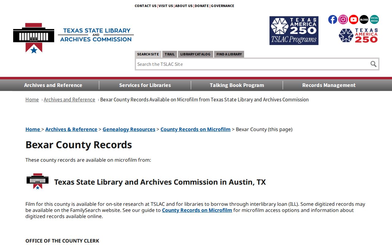
The screenshot below links to the TSLAC Bexar historical-records guide, which identifies microfilm runs and important gaps for past Converse address research.
Negative results need their own record. TSLAC says deeds-of-trust volumes 17, 18, 24, 30, 36, and 41 were not filmed, and that no volume Q exists. A missing image may therefore reflect a reel gap rather than an absent transfer. The guide also identifies marriage records from 1837–1926, probate minutes from 1837–1913, naturalization declarations from 1852–1906, and district-court civil minutes from 1836–1907. Those series can clarify an estate or family relationship, but each person must retain the precise public record role.
Note: Log the exact index type, reel, volume, page, image, search term, and access date so an empty search can be checked later.
Find Converse Previous Residents in Directories
Directories supply the household layer that deeds cannot. TSLAC describes entries that can include a name, address, telephone, spouse, occupation, and ownership or occupancy notation. The official list documents San Antonio runs from the late nineteenth century to 1993, but no separate Converse run. Search the exact address, street variants, family surname, rural-route wording, subdivision name, and nearby San Antonio-area context. Before relying on a hit, inspect the title, year, geographic scope, page, and scanned image.
The historical volumes are collected and explained on the Converse city directory page. Here, a directory entry is one stop in an address trail. It may show that a person was listed at the address in that publication year, but it should not overwrite a conflicting deed date or become a claim about where the person is now.
Converse's earlier setting explains why this care is needed. The community began with an 1877 townsite purchase and a post office in 1878. Older records can sit under Bexar County, railroad, rural-route, subdivision, or San Antonio-area references rather than the modern municipal name.
Pair Converse Previous Residents With Census Dates
Use a simple dated flow after a directory or deed provides a household lead: address or legal description, then recorded transfer, then a directory year, then the nearest released census year, followed by probate, obituary, cemetery, or newspaper research only when the dates and geography fit. Federal census records are historical household snapshots, not current lists. The 1950 census is searchable, but older enumeration geography may use a township, rural route, or enumeration district that does not match a modern Converse address.
For each pairing, retain the directory title and page, census year, enumeration district, sheet, household number, and image. If the street cannot be matched, keep the result as a family lead rather than forcing it onto the parcel. An ownership transfer may involve an estate or trust, while a directory may record a listed household. Both facts can coexist without naming the same person.
Probate can be especially useful at the end of a historic land trail. TSLAC identifies Bexar administration bonds for 1848–1882, exhibits for 1864–1883, probate records for 1837–1859, and wills for 1865–1883. Access, redactions, and the exact public role still matter.
Note: A census or directory result should stay a dated household clue until the street, page, and geographic coverage have been checked together.
Map Converse Previous Residents With Archives
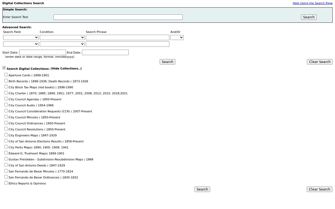
Maps can explain a street name, tract, or regional connection, but they must be labeled for the place that created them. The San Antonio Digital Archives has simple and advanced search, date, media-type, and collection filters. Its collections include city block tax maps from 1898–1990, city engineers maps from 1847–1929, city deeds from 1847–1929, birth records from 1896–1936, and death records from 1873–1926. These are San Antonio municipal collections, not Converse municipal files.
The image below comes from the San Antonio Digital Archives search interface, a regional source for maps, deeds, and historical collections that may provide context for a Converse address trail.
Use a map to test a route, road, or nearby land reference, then return to the Bexar legal description and recorded source. Identified Sanborn resources cover San Antonio from 1885–1952 and the San Antonio area from 1877–1924. No Converse-specific Sanborn sheet was located in the inspected official sources. That is a source gap, not permission to call a regional map a Converse record.
Converse Previous Residents Before City Records
Bexar's long record history adds context to an address before the modern city layer existed. TSLAC describes Spanish-Mexican contracts, agreements, and receipts from 1736–1836; land grants from 1736–1836; miscellaneous land records from 1755–1842; and wills and estates from 1736–1838. These sources can reveal land relationships long before Converse, but they should be cited as county or regional material, not recast as city records.
The local municipal layer is much newer. Converse Public Library opened in 1991, received TSLAC accreditation in 1993, and expanded after a voter-approved project with a 2018 reopening. Its catalog is a sensible point to ask about local-history items, but the inspected catalog did not expose directory, obituary, or local-history holding years. Verify physical holdings directly rather than assuming a collection exists.
This history is also why a negative result needs an explanation. The official records portal has no published first online year, the microfilm has known gaps, and no citywide address renumbering year was located. Record what source was searched before deciding the trail has ended.
Limits on Converse Previous Residents Research
Previous residents research is a house-history and family-history activity, not a way to track living people. An appraisal owner may not occupy a parcel. A recorded grantee may be an executor, trustee, lender, entity, or co-owner. A directory listing is dated, and a permit applicant may have a work-related role. Voter addresses can be suppressed or confidential. Public records should retain their original labels and dates instead of being combined into a single claim about a person's current location.
Lawful use. Use Converse historical address records for personal, lawful research and preserve redactions. Do not use public details to stalk, harass, intimidate, or harm any person.
Texas Government Code Chapter 552 is the general public-information route for city and county executive records, subject to exceptions and redaction. Courts use Rule 12 procedures instead. A focused request names the existing record type, address or legal description, date span, desired public fields, and delivery format. Do not ask an agency to create a current list it does not maintain.
Note: A complete historic citation records the source, jurisdiction, collection or portal, date searched, volume or reel, page or image, and the exact relationship shown.